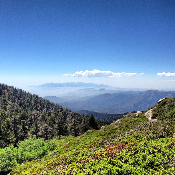
Land Acknowledgment: The San Gabriel, Santa Monica, San Bernardino, and San Jacinto Mountains are the ancestral homelands of the Tongva (Gabrielino), Chumash, Serrano, Cahuilla, and Luiseño peoples, who have stewarded these lands since time immemorial.
Like all great transformations, this one started with a breakup. I decided I’d say yes to everything—no overthinking, no excuses, just yes.
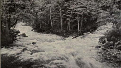
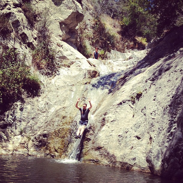
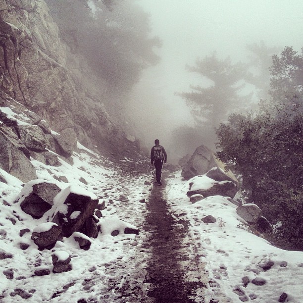
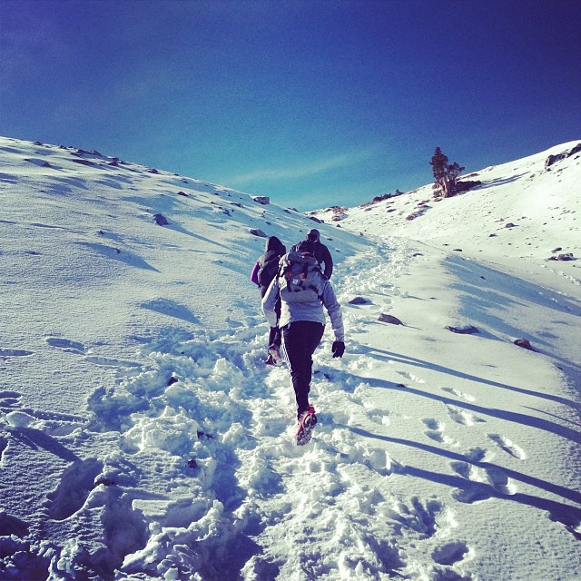
A friend posted a hike to Switzer Falls, and I went. I loved it. The next weekend, we found another waterfall. Then another. Before long, Sunday brunch was out, and chasing waterfalls was in.
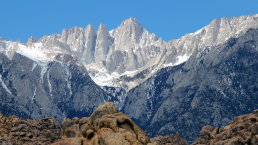
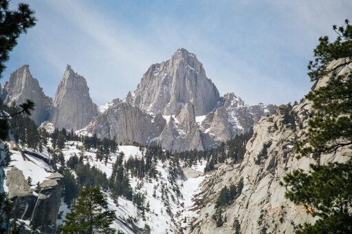
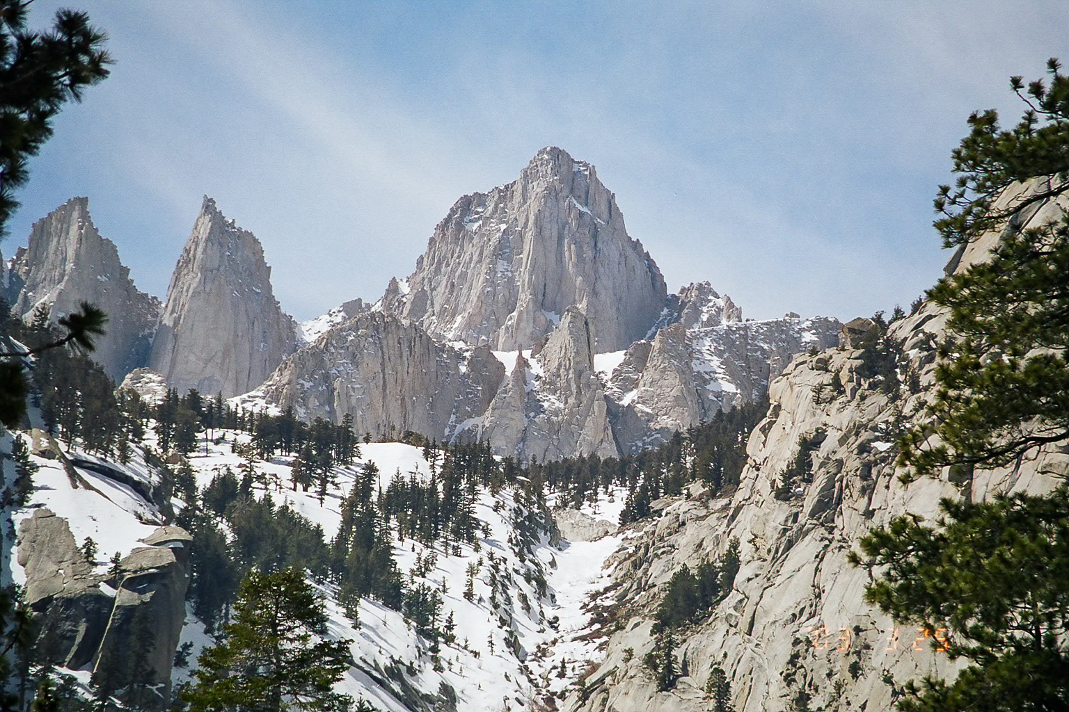
Then fall hit, the weather cooled, and someone suggested that we start training for Mt. Whitney.
I’m in.
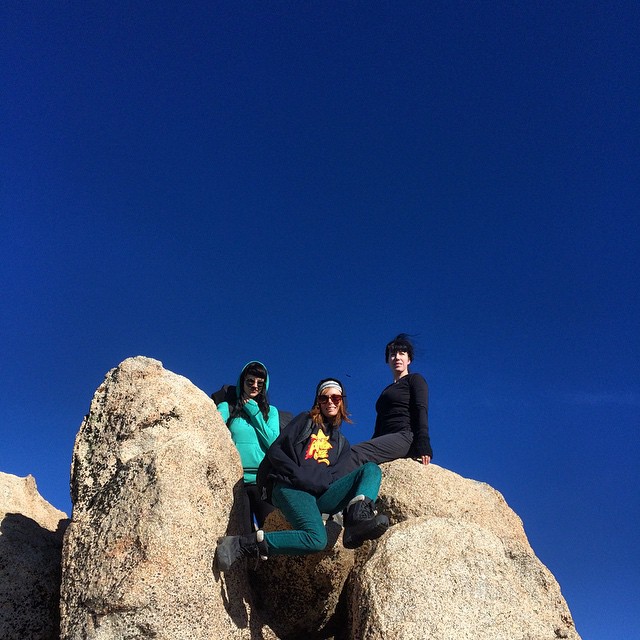
My dad and brothers had climbed Mt. Whitney. I heard about it quite a bit growing up. I knew it was a solid hike, and me, and the new friend scene decided to take it seriously.
Back in the 10s, Modern Hiker was the hiker nerd bible. Shout out Casey. EcoBadass, (shout out Sterling Silva) provided supplemental material with a random blog post called the SoCal Dirty Dozen—12 SoCal hikes that would get you Whitney-ready.
So, we did them all. And when the time came, we crushed it. 12am departure, 2pm return. Then I did it again, again and again, and I have honestly lost county at this point.
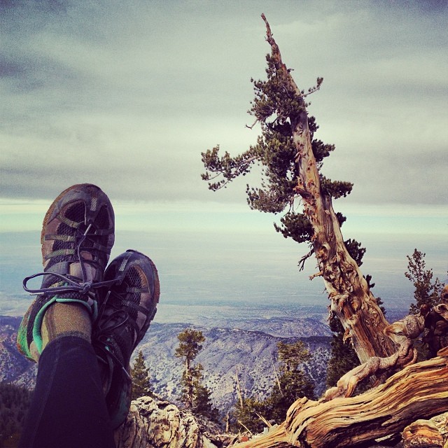
Now? I live in Lone Pine, and Mt. Whitney is least interesting thing in the Sierra and I only do the hike when a relentless friend talks me into it. But I get it—you wanna tick it off the list… so here is our the hike list, to get your ready for Mt. Whitney.
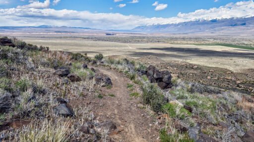
📍 1. Malibu Creek Backbone Trail
Get your miles in. Nothing crazy, just time on your feet. This area made me fall in love with hiking.
• Distance: 13 miles RT
• Elevation Gain: 2,000 ft
• Max Elevation: 2,800 ft
• Trailhead: Malibu Creek State Park, Calabasas, CA
📍 2. Mt. Lukens via Stone Canyon
Your intro to gain, and fun fact, Mt. Lukens, is the tallest peak in the city of Los Angeles.
• Distance: 8 miles RT
• Elevation Gain: 3,200 ft
• Max Elevation: 5,074 ft
• Trailhead: Deukmejian Wilderness Park, Glendale, CA
📍 3. Mt. Wilson via Chantry Flat & Upper Winter Creek
A classic. If you hike in LA, you do this hike.
• Distance: 14 miles RT
• Elevation Gain: 4,000 ft
• Max Elevation: 5,712 ft
• Trailhead: Chantry Flat, Arcadia, CA
📍 4. Mt. Waterman
Mellow compared to others on the list, but solid for altitude exposure and a good intro to the upper San Gabriel. A nice break before things get serious.
• Distance: 6 miles RT
• Elevation Gain: 1,200 ft
• Max Elevation: 8,038 ft
• Trailhead: Buckhorn Day Use Area, Angeles National Forest
📍 5. Mt. Baden-Powell via Vincent Gap
Deep in the San Gabriel and absolutely worth the drive. Meet the you first ancient Bristlecone. The switchbacks are real.
• Distance: 8 miles RT
• Elevation Gain: 2,800 ft
• Max Elevation: 9,407 ft
• Trailhead: Vincent Gap, Angeles Crest Highway
📍 6. Cucamonga Peak via Icehouse Canyon
Icehouse Canyon is rad, but packed these days. Go early.
• Distance: 12 miles RT
• Elevation Gain: 3,800 ft
• Max Elevation: 8,859 ft
• Trailhead: Icehouse Canyon, Angeles National Forest
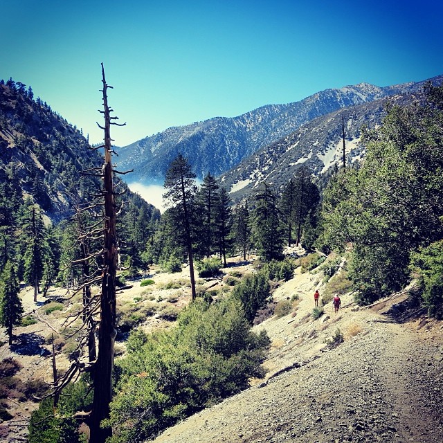
📍 7. Mt. Baldy via Devil’s Backbone
Hiker nerd rite of passage. The tallest peak in LA County and a solid grind. Avoid winter summit when you are newbie and start early on a hot day. Always start your hikes early regardless.
• Distance: 11 miles RT
• Elevation Gain: 3,900 ft
• Max Elevation: 10,064 ft
• Trailhead: Manker Flat, Mt. Baldy, CA
📍 8. Mt. Wilson Toll Road
A long day and lots of miles to test your endurance.
• Distance: 16 miles RT
• Elevation Gain: 4,600 ft• Max Elevation: 5,712 ft
• Trailhead: Eaton Canyon, Pasadena, CA
📍 9. Mt. Baldy via Bear Flats
Brutal. One of the hardest routes up Baldy. The last time I did this hike, things went super wrong—the LA TImes headline was a “Once in 500 Years Storm Hits Mt. Baldy” and I happened to be at summit when it hit. To learn everything NOT TO DO while hiking, read this. :/
• Distance: 14 miles RT
• Elevation Gain: 5,800 ft
• Max Elevation: 10,064 ft
• Trailhead: Bear Canyon, Baldy Village, CA
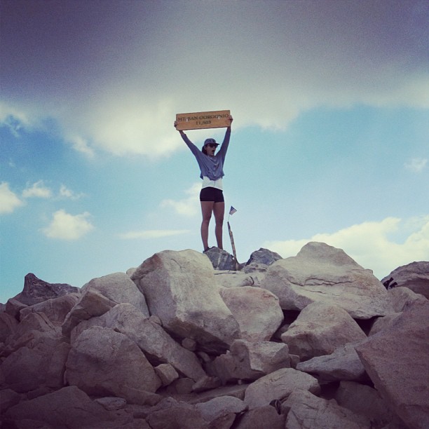
📍 Mt. San Jacinto via Palm Springs Aerial Tramway
Long, big elevation gain. John Muir once said the view from San Jacinto is “the most sublime spectacle to be found anywhere on this earth.” We didn’t quite see what he saw, but it’s def a nice view.
• Distance: 10 miles RT
• Elevation Gain: 2,400 ft
• Max Elevation: 10,834 ft
• Trailhead: Mountain Station, Palm Springs Aerial Tramway
📍 11. San Bernardino Peak via Angelus Oaks
Rough day. I think I got bit by a wasp at summit and broke my camera. :/
• Distance: 16 miles RT
• Elevation Gain: 4,700 ft
• Max Elevation: 10,649 ft
• Trailhead: Angelus Oaks, San Bernardino National Forest
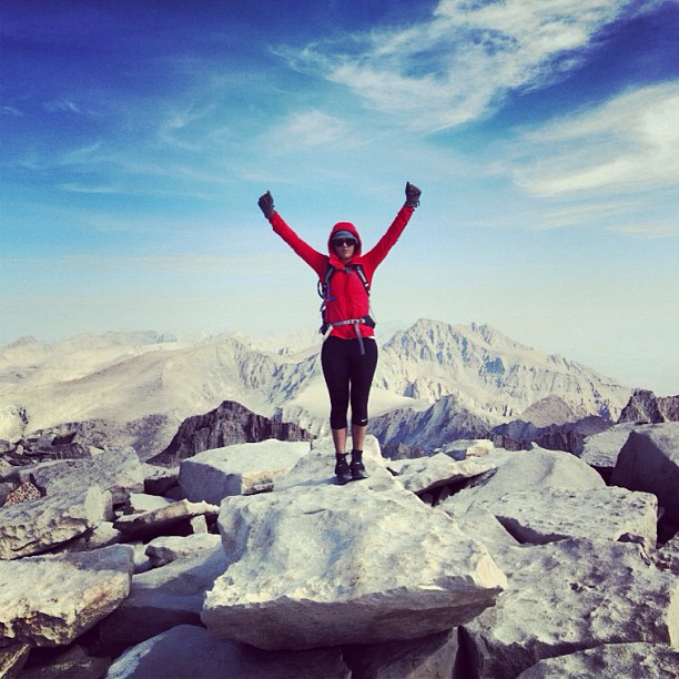
📍 12. San Gorgonio via Vivian Creek
She’s rad. If you made it here, you’re in Whitney shape. Go get it.
• Distance: 18 miles RT
• Elevation Gain: 5,400 ft
• Max Elevation: 11,503 ft
• Trailhead: Vivian Creek, San Bernardino National Forest
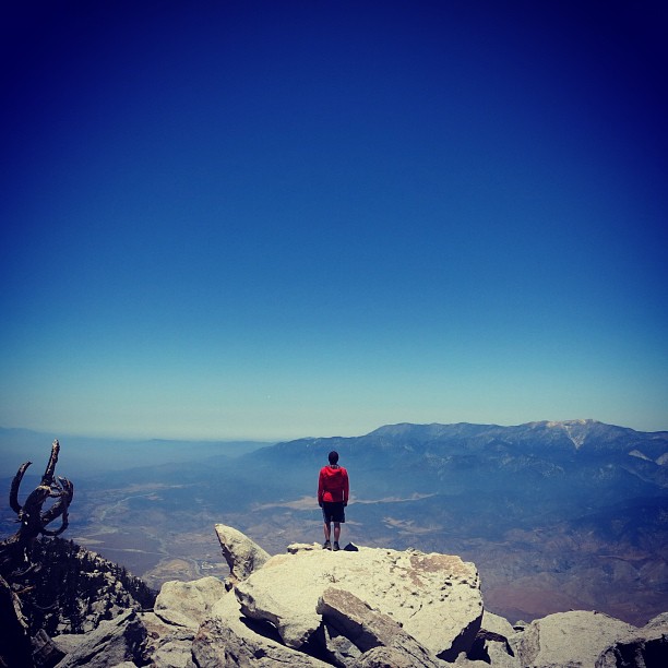
Come for Whitney, Stay for the Sierra
If you’re training for Whitney, less weather complications, this list will likely get you there—but don’t stop once you summit. There’s so much more to the Sierra than one peak.
For more tips and tricks 👇🏼
Learn about Mt. Whitney
How to you get a permit for Mt. Whitney
Everyrthing you Need to Know to Climb Mt. Whitney
Mt. Whitney weather cam
Local Weather Report from Big Willi Mountaineering #supportlocal #goseeblair
Where to stay in Lone Pine
Our favorite hikes in Lone Pine
Where to Eat on the 395
A message from AWE
In the ’80s, tossing trash out of car windows was commonplace—until the “Don’t Be a Litterbug” campaign came along and changed behavior on a massive scale. At AWE, we believe the same power of messaging can transform how people care for the places we love to travel and explore. Most people are good, and travel is inevitable—every hike, swimming hole, and climbing spot is just a few clicks away. As content creators, we believe we have a responsibility to weave Leave No Trace principles into everything we share, inspiring travelers to recreate responsibly and minimize their impact on the incredible places so many of us cherish.
Your actions matter: where you walk, how you park, how you treat locals, and even how loud you play your music. It all makes a difference. Search “Leave No Trace” to learn more about responsible recreation and how you can help protect the wild spaces we love and share.
AWE Disclaimer
Recreation activities may involve inherent risks, including but not limited to changing weather conditions, challenging terrain, wildlife encounters, and other unforeseen hazards. Visitors should check with local land management agencies or authorities for up-to-date information on trail conditions, access, permits, and regulations before planning their trip.
Always prioritize safety by being prepared, carrying adequate supplies, and following Leave No Trace principles to protect the environment. Respect local rules, private property, and other visitors. This post is for informational purposes only, and participation in any activity is at your own risk.