Land Acknowledgment: Payahuunadu has been, and continues to be, the homeland of the Paiute (Nuumu), Shoshone (Newe), and Timbisha peoples. This land acknowledgment honors the original inhabitants of the Eastern Sierra and the tribes who remain here today.
Mt. Whitney is a gateway drug and if you are reading this we assume that you want more. Good news, there is so much more. Plenty of straightforward hikes or if you are ready to up your mountain game with something more interesting, the Sierra has endless options. But first, let’s talk mountain jargon.
Mountaineering 101: Class 1, 2, and 3 Explained
• Class 1: Basically a long walk. Trails are defined, easy to follow, and require zero handwork. (Think: Mt. Whitney Trail)
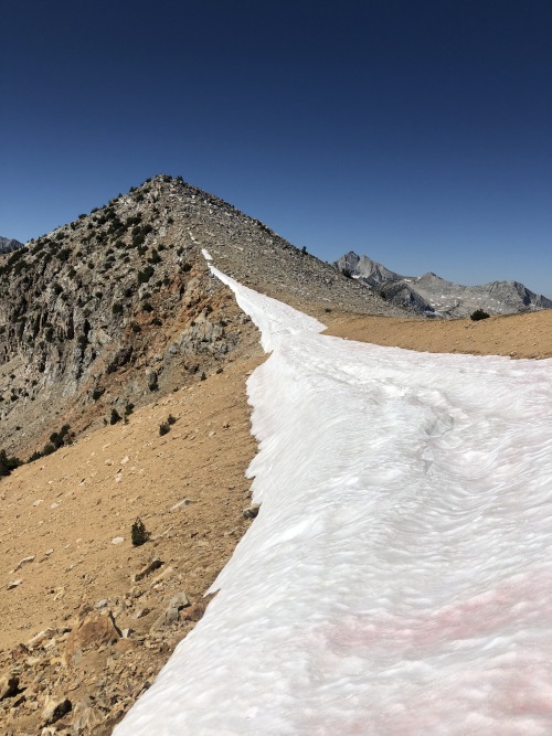
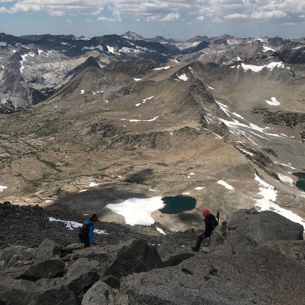
• Class 2: Still mostly hiking, but you’ll encounter some off-trail terrain, scrambling over loose rocks, and maybe some basic route-finding. No real exposure.
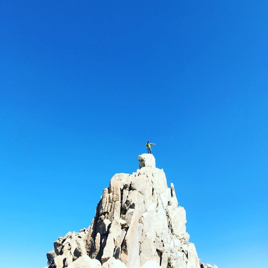
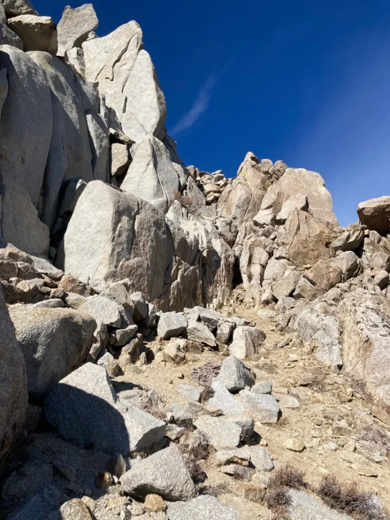
• Class 3: You’re officially using your hands—no ropes, but expect short sections of scrambling, occasional exposure, and route-finding. A helmet and experience (or an experienced friend) are strongly recommended.
Don’t get this confused with Type 1, Type 2 and Type 3 Fun
How mountain nerds describe the weird (often masochistic) relationship we have with adventure. Here’s a quick breakdown so you can quantify your next trip:
Type 1 Fun: “Actually Fun”
• Definition: Enjoyable while it’s happening, enjoyable afterward. Zero regrets.
• Mood: Pure joy, no complaints. Basically, Instagram fun.
Type 2 Fun: “Suffer Now, Brag Later”
• Definition: Miserable while happening, but hilarious and rewarding afterward.
• Mood: Pain, regret, existential dread that quickly morphs into storytelling and bragging rights.
Type 3 Fun: “Not Actually Fun”
• Definition: Miserable during, miserable after. You never, ever want to repeat this.
• Mood: Borderline Trauma. Find youself questioning life choices. No funny stories—but hard lessons learned.
How this actually works:
Mountain life is mostly Type 2 fun. Type 1 is nice but kinda boring. Type 3 you try to avoid at all costs, but it generally happens, you learn a lot when it happens, and the best thing to do to avoid it, is always be extra prepped so you don’t die.
Lastly, Respect the Locals:
If you are reading this article you are probably a “gaper,” you might be a “kook,” and for whatever reason you are seeking a “sufferfest,” and we hope things don’t get “spicy” too soon, but they probably will.
Gaper: A clueless tourist or beginner who’s visibly out of their element, often identified by poor gear choices, confused looks, and questionable behavior. Usually harmless, always obvious.
Kook: Someone who confidently (and incorrectly) believes they’re skilled or knowledgeable in an outdoor sport. Unlike gapers, kooks pretend they know what’s up, which makes them both entertaining and often dangerous. Locals don’t like kooks. Don’t be a kook.
Sufferfest: An outdoor activity that’s intentionally painful or exhausting, often physically or mentally draining. You hate it in the moment, love it later, and brag about it forever. (See: Type 2 Fun.)
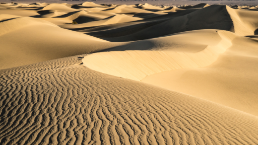
Slog: Often goes hand in hand with sufferfest. A long, tedious, and usually monotonous outdoor effort—like climbing up endless switchbacks or trudging through deep sand or snow. Not necessarily dangerous, just mentally draining and/or physically exhausting. Commonly used to describe the boring and/or brutal sections of hikes, climbs, or backcountry treks.
Spicy: Slightly to super risky, challenging, or intense. Describes terrain or situations that are just intimidating enough to spike your adrenaline but you probably won’t die.
K gaper, let’s pick your next peak.
Disclaimer: If you are new stay away from winter. Hike in summer. Spring will likely require ice axe and crampons. If you are hell bent on learning wintering mountaineering take a snow skills course. Go with a friend who knows what they are doing or hiking alone. Newbie mountaineers, going at it alone is a kook move, and puts so many people in jeopardy, and drains local resources when you find yourself in trouble.
Class 1 Peaks: Whitney Was Fun, Let’s Do it Again
If you enjoyed Whitney’s straightforward trail and killer views, these peaks are chill-ish, scenic, and accessible.
Mt. Langley (14,032 ft)
📍 Trailhead: Horseshoe Meadow
🥾 Distance: 22.4 miles round-trip
📈 Elevation Gain: 4,000 ft
Mt. Langley is basically Whitney’s laid-back cousin—slightly shorter, less crowded, equally beautiful. The trail starts gently in alpine meadows before ramping up into a rocky but straightforward ascent. Bonus: no permit lottery. You can def backpack this trip. Tthere is a ton of first come first serve campground options at our favorite trailhead or book one of the homies spots in Lone Pine.
White Mountain Peak (14,252 ft)
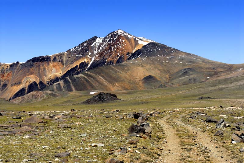
📍 Trailhead: White Mountain Road (Near Ancient Bristlecone Pine Forest)
🥾 Distance: 15.2 miles round-trip
📈 Elevation Gain: ~3,300 ft
Welcome to the eastside of the eastside. The drive to the trailhead is the hardest part, it sucks. Check your tire pressure, have plenty of gas. Don’t break down. The trail is literally a dirt road all the way up, but the views are spectacular, and you’re surrounded by ancient bristlecone pines—some of the oldest living things on Earth. Bring water and sunscreen; shade is nonexistent. You can camp, or stay in Big Pine or Bishop, either way we highly recommend making Keough’s Hot Springs part of this trip. Tell em we sent you.
Mt. Dana (13,061 ft)
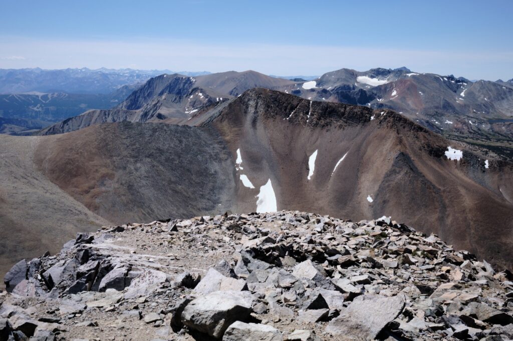
📍 Trailhead: Tioga Pass, Yosemite National Park (East Entrance)
🥾 Distance: 5.3 miles round-trip
📈 Elevation Gain: 3,100 ft
Dana is short, steep, and awesome. Starting at Tioga Pass, you climb steadily through rocky alpine terrain, rewarded at the summit with epic views of Mono Lake, Yosemite, and endless Sierra peaks. Book a room with our friends at June Lake Pines. Tell em we sent you.
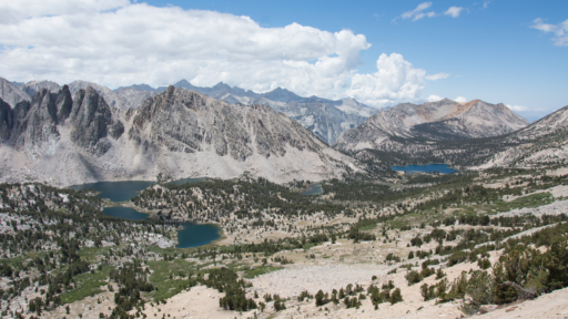
Mt. Bago (11,870 ft)
📍 Trailhead: Onion Valley or Kearsarge Pass
🥾 Distance: 12 miles round-trip (via Onion Valley)
📈 Elevation Gain: ~2,800 ft
Mt. Bago flies under the radar but delivers big with views of the Great Western Divide, Charlotte Dome, and endless backcountry lakes. It’s an easy summit if you’re willing to hike over Kearsarge Pass which can feel like a slog, but straightforward terrain and killer solitude. You can crash at the trailhead. Try to reserve a campground. Pull a permit and backpack, or stay with the homies at Mt. Williamson Hotel. Tell em we sent you.
Class 2-3 Peaks: Stepping Up Your Game
Ready to get your hands dirty? These peaks require basic scrambling, route-finding, and a bit of courage—but nothing too spicy, depending on your relationship with altitude and heights.
Mt. Agassiz (13,899 ft) — Class 2
📍 Trailhead: South Lake, Bishop
🥾 Distance: 10 miles round-trip
📈 Elevation Gain: 4,000 ft
Mt. Agassiz is a good first Sierra scramble. You’ll hike toward Bishop Pass, then pick your own route up the rocky face—easy scrambling but requiring careful footing and basic route-finding. Views of the Palisades are rad. If you are not sleeping in your car, here our are favorite places to stay in Bishop.
Mt. Gould (13,011 ft) — Class 2
📍 Trailhead: Onion Valley
🥾 Distance: 10.5 miles round-trip
📈 Elevation Gain: 3,200 ft
Short, steep, and satisfying. Mt. Gould combines a straightforward hike to Kearsarge Pass with a fun scramble to the summit. The terrain is loose in spots, but navigation is simple, and the views of Kings Canyon are epic. You can try to reserve a campground. Pull a permit and backpack, or stay with the homies at Mt. Williamson Hotel. Tell em we say what’s up!
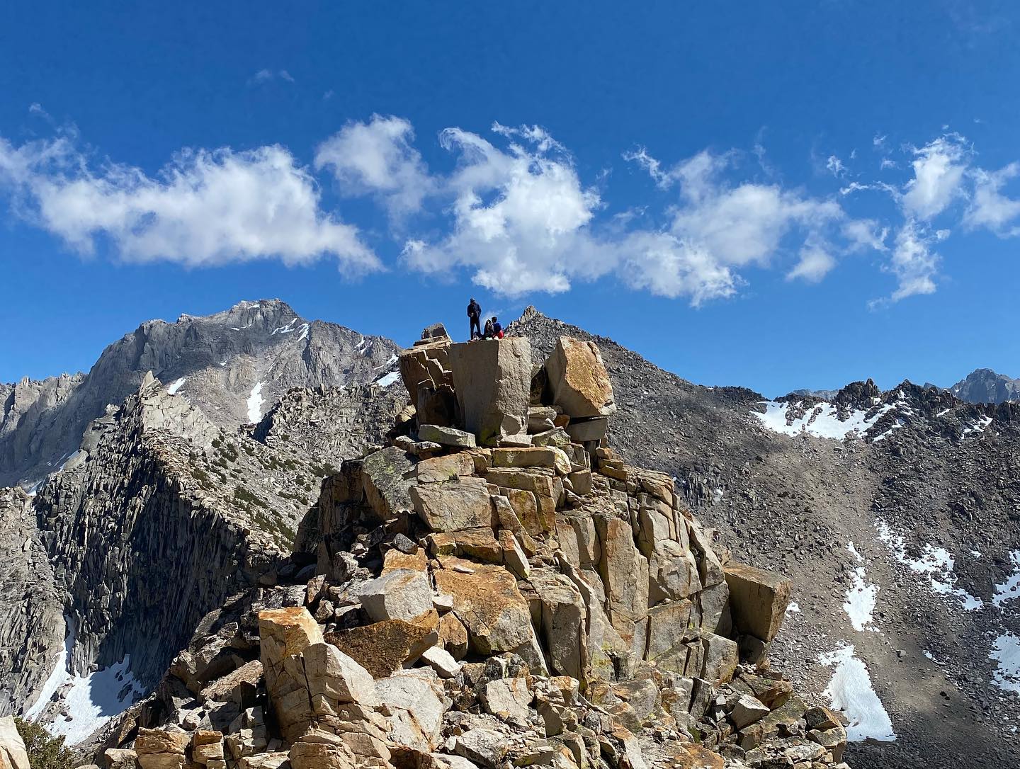
Independence Peak (11,744 ft) — Class 2-3
📍 Trailhead: Onion Valley
🥾 Distance: 6.4 miles round-trip
📈 Elevation Gain: 3,000 ft
Independence Peak looks intimidating from the 395, but it’s surprisingly doable but def a slog. The upper sections require route-finding and hand-use, but it’s manageable if you’re cautious. Research and choose the right route or things can get a bit spicy. As for where to stay, same as above.
Cirque Peak (12,900 ft) — Class 2
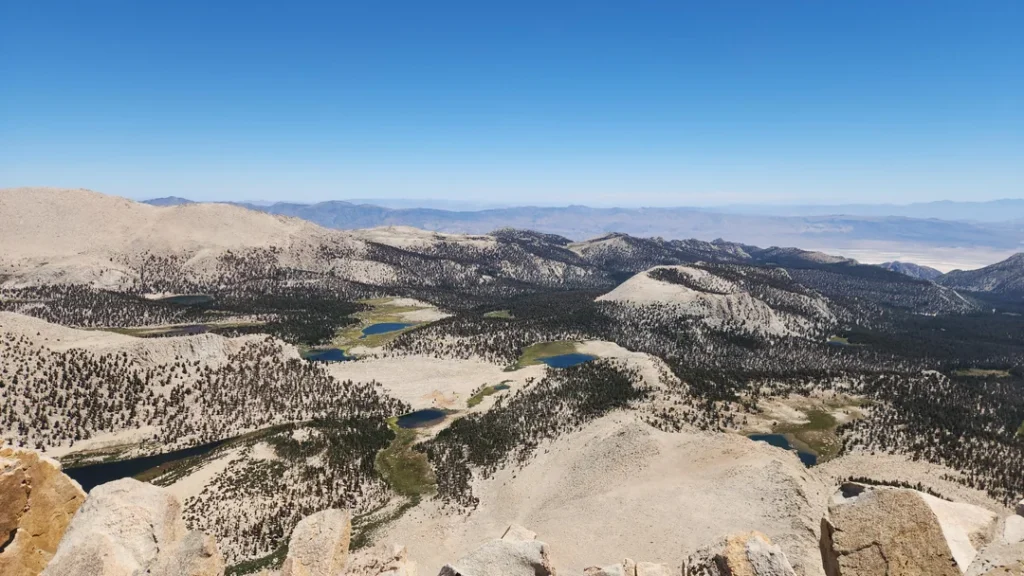
📍 Trailhead: Horseshoe Meadow
🥾 Distance: 19.6 miles round-trip
📈 Elevation Gain: 3,200 ft
Cirque Peak offers straightforward off-trail navigation and moderate scrambling, with big-time payoff. Overlooking Cottonwood Lakes Basin, it has some of the best vistas in the region, and the exposure remains mild. Def a big day, you can backpack, stay at trailhead campgrounds or crash in Lone Pine.
Mt. Whitney Mountaineer’s Route (14,505 ft) — Class 2-3
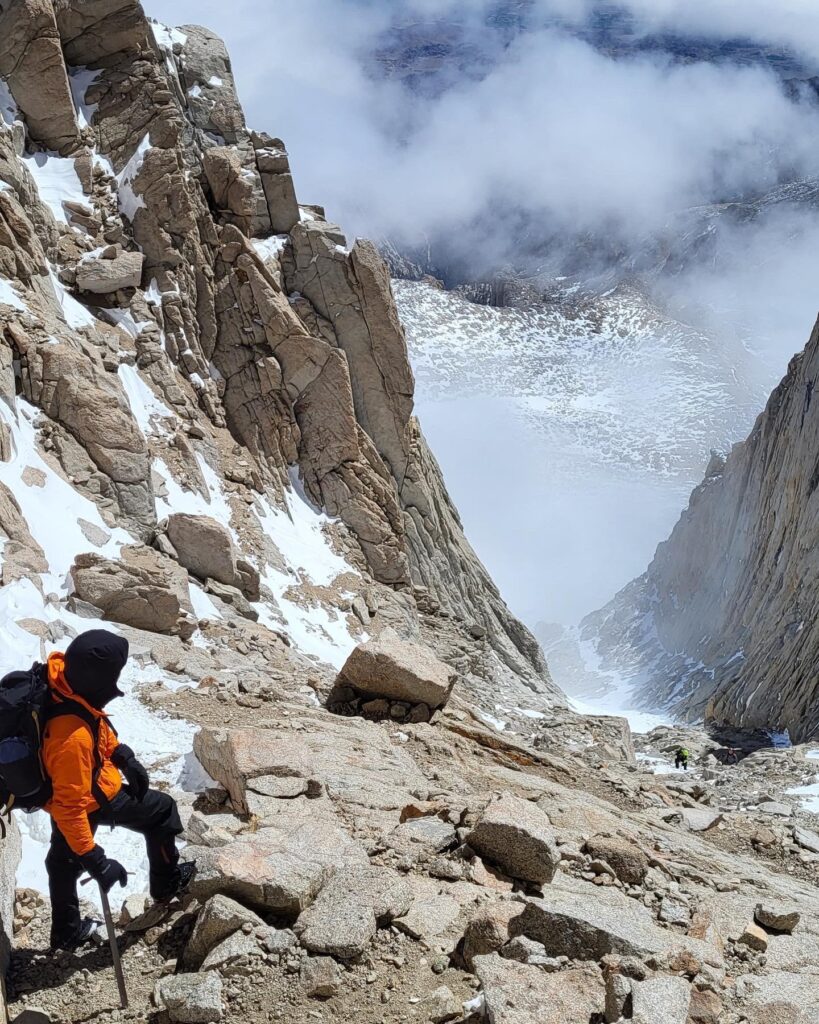
📍 Trailhead: Whitney Portal
🥾 Distance: 12 miles round-trip
📈 Elevation Gain: ~6,200 ft
The Mountaineer’s Route is an option—steeper, wilder, and more rewarding. You’ll ascend via the rugged North Fork of Lone Pine Creek, climbing over the “ledges,” through alpine lakes and granite slabs. Expect loose rock, route-finding, and a few brief sections of legit scrambling (Class 3) as you approach the summit chute. A helmet and some solid mountain experience are recommended. Another big day. You can go light and stay in LP, book a portal campsite or backpack.
Tips for Transitioning from Hiking to Scrambling:
• Don’t be a kook: eat, sleep, breathe Leave No Trace principles and take care of the backcountry.
•Start easy: Langley and White Mountain first, then Agassiz and Gould.
• Gear up: Helmet, approach shoes, and layers. Know your water sources, sometimes they are dry. Bring more water than you think you need.
• Route-find with care: Learn how to read a map, or at the very least, download maps offline and pay attention.
• Buddy system: Scrambling is always safer (and more fun) with friends. Don’t put Inyo SAR at Mono SAR risk for dumb decision making. You def don’t want to be a feature on their IG. Go with friends who know what they are doing, or hire a guide.
Our guide shaped friends:
Sierra Mountain Center (SMC)
Sierra Mountaineering International (SMI)
Sierra Wilderness Seminars (SWS)
International Alpine Guides (IAG)
Gear Shops – support local, ask questions, and buy something. Repeat, buy something.
Big Willi Mountaineering – Lone Pine
Eastside Sports – Bishop
Sage to Summit – Bishop
Mammoth Mountaineering – Mammoth
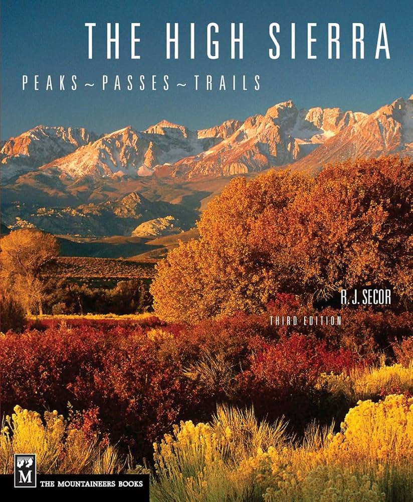
You Can Buy this
Lastly, If you dig this stuff… you should purchase (use our link please or even better, buy it local!) the mountaineering bible. Every mountain nerd on the eastside has one. It will become one of your most cherished possessions.
You should also follow, and contribute to Inyo SAR and Mono SAR because they save our lives, and they need our support.
Tag us #sayawe #aweyeah
A message from AWE: In the ’80s, tossing trash out of car windows was commonplace—until the “Don’t Be a Litterbug” campaign came along and changed behavior on a massive scale. At AWE, we believe the same power of messaging can transform how people care for the places we love to travel and explore. Most people are good, and travel is inevitable—every hike, swimming hole, and climbing spot is just a few clicks away. As content creators, we believe we have a responsibility to weave Leave No Trace principles into everything we share, inspiring travelers to recreate responsibly and minimize their impact on the incredible places so many of us cherish. Your actions matter: where you walk, how you park, how you treat locals, and even how loud you play your music. It all makes a difference. Search “Leave No Trace” to learn more about responsible recreation and how you can help protect the wild spaces we love and share.
AWE Disclaimer: Recreation activities may involve inherent risks, including but not limited to changing weather conditions, challenging terrain, wildlife encounters, and other unforeseen hazards. You should know your skillset and stay in your lane. Visitors should check with local land management agencies or authorities for up-to-date information on trail conditions, access, permits, and regulations before planning their trip. Always prioritize safety by being prepared, carrying adequate supplies, and following Leave No Trace principles to protect the environment. Respect local rules, private property, and other visitors. This post is for informational purposes only, and participation in any activity is at your own risk.