Land Acknowledgment: Payahuunadu has been, and continues to be, the homeland of the Paiute (Nuumu), Shoshone (Newe), and Timbisha peoples. This land acknowledgment honors the original inhabitants of the Eastern Sierra and the tribes who remain here today.
Forget the overhyped trails packed with weekend warriors. If you’re craving raw, unfiltered mountain biking, Bishop, California, is your next pilgrimage. Nestled at the northern end of the Owens Valley, this high-desert town offers everything. From classic singletrack to rocky freeride zones, Bishop is where you go to escape the crowds and find out what you’re made of.
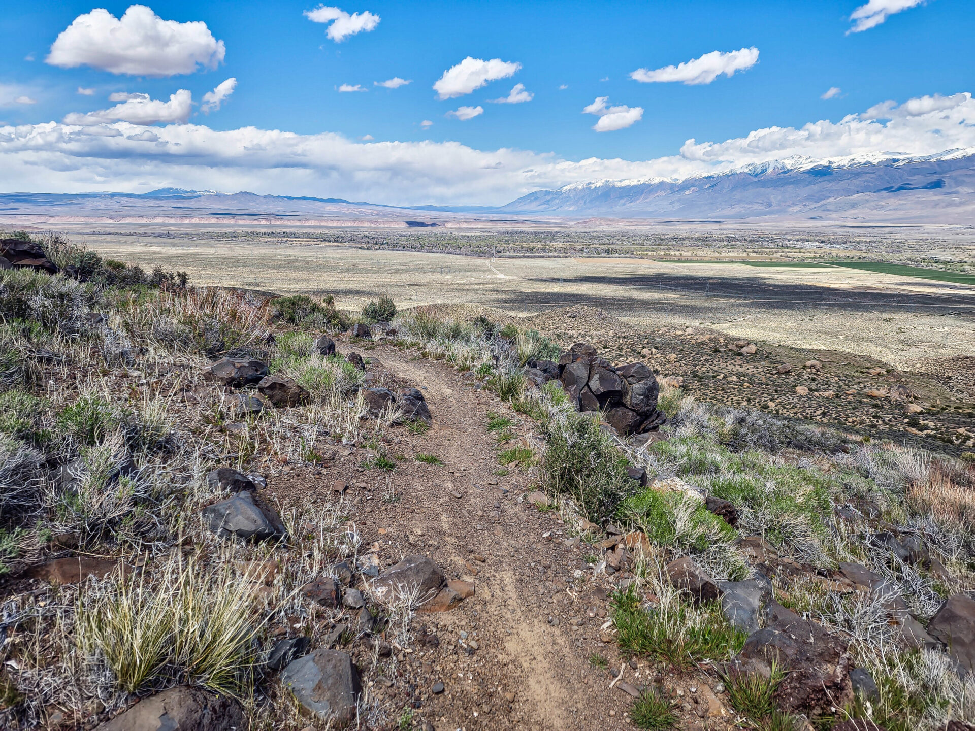
West Bishop Foothills: The Labyrinth of Loam
📍 Trailhead: Junction of Barlow Lane and Bir Road
🚵 Distance: Varies (6-12 miles)
📈 Elevation Gain: 600-1,000 ft
🔥 Best For: Riders who love wandering through a web of OHV routes, dirt roads, and secret singletrack
Just west of town lies a tangled web of dirt roads, double-track, and singletrack trails. This isn’t your sanitized, signposted trail system—it’s a choose-your-own-adventure, where every path promises a new thrill. Expect punchy climbs, flowy descents, and a chance to get properly lost (in the best way possible).
🚀 Why It’s Rad:
• A huge, mostly unknown trail network with zero crowds.
• Super customizable routes—mix and match to build your own epic ride.
• The views of the Sierra from here are ridiculous.
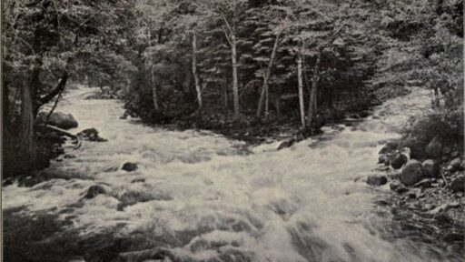
Lower Rock Creek Trail: The OG Classic
📍 Trailhead: Parking at Lower Rock Creek Road & Swall Meadows Road
🚵 Distance: 8 miles one-way
📈 Elevation Gain: ~2,000 ft descent
🔥 Best For: Riders who love fast, technical descents with flowy high-speed sections
A must-ride for anyone hitting the Bishop area. Lower Rock Creek is a classic Sierra descent that starts in an aspen-lined canyon and ends in loose, rocky high desert. The upper sections are buttery smooth flow, while the lower third is all about rock gardens, tight switchbacks, and technical commitment.
🚀 Why It’s Rad:
• One of the best descents in the Eastern Sierra.
• Starts flowy, ends chunky. A little bit of everything.
• Spring and fall = prime conditions.
🔥 Pro Tip: Shuttle it if you want an easy day. If not, climbing it makes you a certified beast.
Chipmunk Canyon: The Hidden Gem
📍 Trailhead: Off Tungsten City Road
🚵 Distance: 10 miles
📈 Elevation Gain: ~1,200 ft
🔥 Best For: Riders who want fast, rolling singletrack with natural tech features
This flowy singletrack dips through the foothills east of Bishop, with natural rock rollers, sneaky little jumps, and slickrock-style granite slabs scattered throughout. It’s not as burly as Lower Rock Creek, but it’s arguably just as fun.
🚀 Why It’s Rad:
• Smooth and fast, with just enough tech to keep it spicy.
• Views of Owens Valley the whole way down.
• A perfect warm-up or evening ride.
Poleta Canyon: The Tech Playgroung
📍 Trailhead: Off Highway 168, near the Owens River
🚵 Distance: 10 miles
📈 Elevation Gain: ~2,000 ft
🔥 Best For: Riders who like steep, loose descents and technical challenges
If you like white-knuckle, no-room-for-error technical riding, Poleta Canyon is for you. The OHV routes here are steep, exposed, and loose as hell, and the singletrack? Fast, off-camber, and relentless. Expect big drops, sketchy switchbacks, and moments where you question your life choices.
🚀 Why It’s Rad:
• One of the gnarliest MTB areas in Bishop.
• Huge variety—fire roads, doubletrack, and nasty singletrack.
• Zero room for mistakes = a great way to level up.
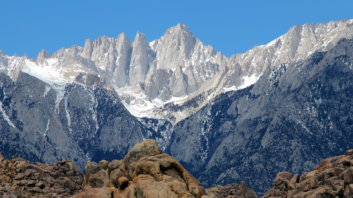
White Mountain Peak: The Ultimate High-Altitude Sufferfest
📍 Trailhead: Schulman Grove Visitor Center (Ancient Bristlecone Pine Forest)
🥾 Distance: 20 miles one-way
📈 Elevation Gain: 6,300 ft
🔥 Best For: Riders who like suffering and want to say they biked to 14,252 feet
This is one of the highest rides in North America. Starting in the Ancient Bristlecone Pine Forest, you’ll grind your way up White Mountain Road, a brutal 20-mile dirt climb that takes you to the summit of White Mountain Peak (14,252 ft).
The climb is long, exposed, and relentless—but the views of the Sierra, the Great Basin, and Death Valley are unreal. The descent? Fast, rough, and an absolute adrenaline rush.
🚀 Why It’s Rad:
• The highest MTB ride in California.
• No technical features—just pure high-altitude grind.
• Bragging rights for life.
🔥 Pro Tip: Bring extra layers—temps can drop below freezing at the top, even in summer.
Final Thoughts: Bishop Rules
Whether you want classic flow, high-speed chunk, or a soul-crushing high-altitude sufferfest, Bishop has it all—and with zero crowds.
🚵 Who Should Ride Here?
• Riders who want variety. Flow trails, freeride lines, brutal climbs, and endless descents.
• People who hate crowds. This isn’t Mammoth—it’s raw, remote, and wild.
• Anyone looking for an adventure. These aren’t bike-park laps. Bishop’s trails make you work for it.
More tips and tricks 👇🏼
Best Places to Stay in Bishop, CA
Foodies Guide to Bishop, CA
Land Acknowledgment: Payahuunadu has been, and continues to be, the homeland of the Paiute (Nuumu), Shoshone (Newe), and Timbisha peoples. This land acknowledgment honors the original inhabitants of the Eastern Sierra and the tribes who remain here today.
A message from AWE: In the ’80s, tossing trash out of car windows was commonplace—until the “Don’t Be a Litterbug” campaign came along and changed behavior on a massive scale. At AWE, we believe the same power of messaging can transform how people care for the places we love to travel and explore. Most people are good, and travel is inevitable—every hike, swimming hole, and climbing spot is just a few clicks away. As content creators, we believe we have a responsibility to weave Leave No Trace principles into everything we share, inspiring travelers to recreate responsibly and minimize their impact on the incredible places so many of us cherish. Your actions matter: where you walk, how you park, how you treat locals, and even how loud you play your music. It all makes a difference. Search “Leave No Trace” to learn more about responsible recreation and how you can help protect the wild spaces we love and share.
AWE Disclaimer: Recreation activities may involve inherent risks, including but not limited to changing weather conditions, challenging terrain, wildlife encounters, and other unforeseen hazards. Visitors should check with local land management agencies or authorities for up-to-date information on trail conditions, access, permits, and regulations before planning their trip. Always prioritize safety by being prepared, carrying adequate supplies, and following Leave No Trace principles to protect the environment. Respect local rules, private property, and other visitors. This post is for informational purposes only, and participation in any activity is at your own risk.