Land Acknowledgment: Payahuunadu has been, and continues to be, the homeland of the Paiute (Nuumu), Shoshone (Newe), and Timbisha peoples. This land acknowledgment honors the original inhabitants of the Eastern Sierra and the tribes who remain here today.
Overview
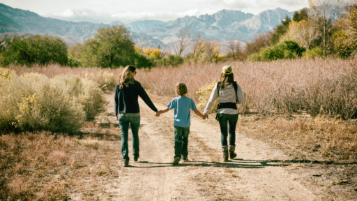
Little Lakes Valley is a dream come true for casual hikers, photographers, families, and high-elevation seekers. Located at the end of Rock Creek Road, this trail begins at over 10,000 feet and follows Rock Creek through a chain of alpine lakes. With minimal elevation gain and jaw-dropping scenery in every direction, this trail is considered one of the most accessible and rewarding hikes in the Bishop region.
Quick Stats
| Trailhead | Mosquito Flat Trailhead |
| Route | Rock Creek Trail |
| Mileage | Up to 7 miles round trip |
| Elevation Start | 10,300 feet |
| Elevation Gain | 600 feet (to end of Little Lakes Valley) |
| High Point | 11,000 feet |
| Type | Out and Back |
| Difficulty | Easy to Moderate |
| Water Sources | Creeks and lakes (treat before drinking) |
| Permit Needed | Overnight |
| Dog Friendly | Yes, on leash |
| Land Manager | Inyo National Forest |
Trail Description
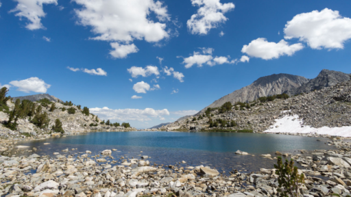
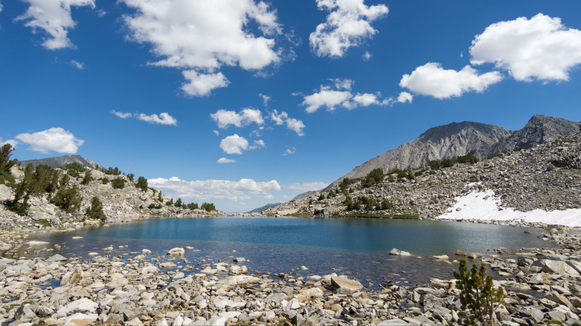
Starting at Mosquito Flat, the highest drive-to trailhead in the Sierra Nevada, the hike immediately immerses you in high-alpine beauty. The trail gently climbs past a series of shimmering lakes—Mack Lake, Marsh Lake, Heart Lake, Box Lake, and Long Lake—with optional extensions to Chickenfoot Lake or Gem Lakes.
Meadows dotted with wildflowers, massive granite peaks, and the winding Rock Creek make this a scenic feast with very little effort. Keep your camera ready—the views are constant and unforgettable.
Best Season to Hike
Late June through October. Snow can linger into early summer, so check conditions. Fall offers golden aspen and fewer crowds. This area is extremely popular during peak months—start early or visit midweek if possible.
Flora & Fauna
Expect alpine meadows full of lupine, Indian paintbrush, and columbine in summer. Steller’s jays and Clark’s nutcrackers are frequent visitors, along with marmots and the occasional pika. Keep an eye on tree trunks—you might spot woodpeckers or even bear claw marks.
Geology
The valley was carved by glaciers, leaving behind a series of hanging valleys, tarns, and moraines. The granite peaks surrounding the trail—Bear Creek Spire, Mount Dade, and Mount Abbot—are classic Sierra granite formed during the Cretaceous period.
History
Little Lakes Valley sits within traditional homelands of the Paiute people, who traversed these mountains long before the road was built. The modern trail was developed in the early 20th century to provide access to backcountry lakes and fishing spots.
Know Before You Go
• Weather: Afternoon thunderstorms are common in summer. Start early and be off the pass by midday. If you hear thunder and see lightning on an exposed trail, your immediate priority is to seek shelter and minimize your exposure to the storm. Get to a safe location, crouch low with your head down, and stay away from tall or conductive objects. If possible, try to find a valley or depression in the terrain.
• Altitude: The hike starts at 10,000+ feet. Hydrate and pace yourself.
• Bear Safety: Carry bear spray, don’t leave food in your car, and use bear-proof containers.
• Trail Conditions: Popular and well-maintained, but always check Inyo National Forest updates for closures or changes.
Driving Directions
From Bishop, take US-395 south to Tom’s Place, then turn west onto Rock Creek Road. Follow this steep, winding road 10 miles to the end at Mosquito Flat Trailhead. The road is paved and generally open by late spring.
Parking
The main lot at Mosquito Flat fills fast on weekends. Arrive early or go midweek. Overflow parking is available lower on the road with a short walk up to the trailhead.
Leave No Trace
Please recreate responsibly. Stay on marked trails, pack out trash, avoid picking wildflowers, and respect wildlife. This area is loved by many—do your part to leave it better than you found it.
#packitinpackitout #leaveitbetter #camplikeapro
AWE Disclaimer: Recreation activities may involve inherent risks, including but not limited to changing weather conditions, challenging terrain, wildlife encounters, and other unforeseen hazards. Visitors should check with local land management agencies or authorities for up-to-date information on trail conditions, access, permits, and regulations before planning their trip. Always prioritize safety by being prepared, carrying adequate supplies, and following Leave No Trace principles to protect the environment. Respect local rules, private property, and other visitors. This post is for informational purposes only, and participation in any activity is at your own risk.